Drone Mapping, Modeling & Surveying Bundle
Add valuable new skills to your toolkit.
- 3 courses bundled together - learn it all in one place.
- Step-by-step instructions from an experienced drone service provider.
- Everything you need to know to create and deliver professional drone maps, models, and surveys to clients.
$299 (lifetime access)
Why Pilot Institute
3 Courses Bundled Together
Drone Mapping Facebook Community
100% Satisfaction Guaranteed
Lifetime Access
Knowledge on a Strong Foundation
Accurate Information
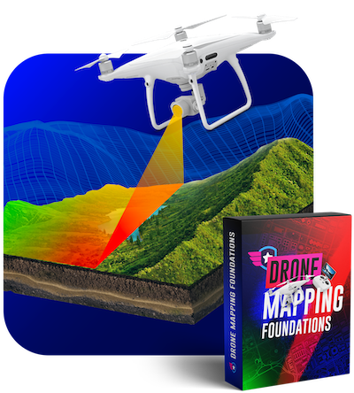
Class 1: Drone Mapping Foundations
This class is perfect for anyone who is interested in learning how to map using a drone. This is a great opportunity to provide a new service to your customers. In this class, you will learn:
- The use cases for drone mapping.
- The best drones and software to use for drone mapping.
- The terminology and language you need to know to communicate effectively with your clients.
- Practical flight planning strategies and tools to improve your drone mapping quality.
- How to identify what makes a good map and tips to avoid common mistakes.
- Understand the accuracy of your drone maps.
- How to process your imagery and create high-quality maps using Drone Deploy, Metashape, and Pix4D.
- See what deliverables you can provide to your clients from your maps.
We provide you with access to the exact files that we used to create our sample project in this course so that you can follow along and create your own model.
3.5 hours of video instruction
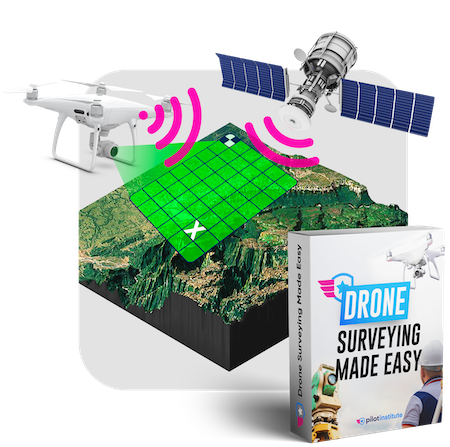
Class 2: Drone Surveying Made Easy
This class adds on to the knowledge learned in the Drone Mapping Foundations course. You will learn how to create more precise maps. You will also learn:
- The limitations of GPS and overcoming them.
- How ground control points can increase the accuracy of your surveys.
- PPK vs RTK and the advantages and disadvantages of both.
- See how to create advanced deliverables such as contours and digital surface models (DSMs).
- Advanced flight planning and how to do corridor and terrain mapping.
- Learn programs such as QGIS, Virtual Surveyor, and SketchFab
- How to add ground control point data to Pix4D.
3.5 hours of video instruction
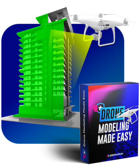
Class 3: Drone Modeling Made Easy
Creating models takes a different set of skills than creating maps or surveys. In this class, we will show you how to capture and create accurate 3D models. In this class, you will learn:
- The differences between mapping and modeling.
- What facades are and how to do them.
- How to capture drone models using automated and manual flights.
- Advanced camera settings and positioning techniques.
- How to combine ground and aerial cameras to create models.
- Drone modeling deliverables including digital twins.
- Learn how to create models with software such as Bently ContextCapture, and Pix4D.
2.5 hours of video instruction
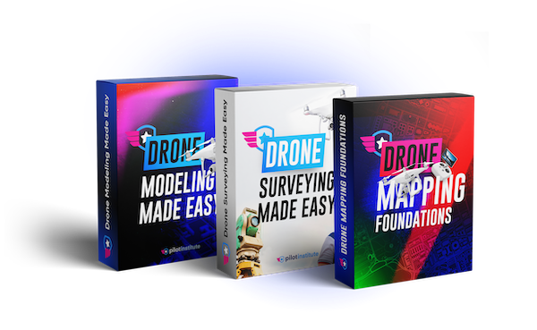
All 3 Courses Bundled Together
Save $75 by purchasing all three classes bundled together.
Let’s meet your instructor Taught by experts, focused on outcomes.
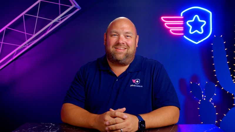
Jared Janacek
Join Over 250,000 Happy Pilots
$299 (lifetime access)
FAQ Got questions? Get the answer below. You can also contact us.
These classes do not require you to own a specific drone. It's possible to create maps with any drone. Having said that, you will achieve higher quality and faster results with a drone that has a mechanical shutter such as the Phantom 4 Pro or the new Mavic 3 Enterprise.
We use a variety of software in these courses including DJI GS Pro (which is free), Drone Deploy, Pix4D, and much more. We use a broad range of software throughout the classes to give you an understanding of everything that's out there.
Drone mapping foundations is the class that we recommend taking first.
Ready to get started? Learn valuable new skills that are in high-demand.
- See the exact processes and tools an experienced drone mapper uses.
- Lifetime Access - Go at your own pace.
- 30 Day No Hassle Money Back Guarantee.
- 9.5 hours of fun and engaging videos.